A cycling trail that will take you to the most beautiful shores of this region. The attractions include mainly the beautiful Kopanice region, but also Bradlo, lookout tower Hrajky and others.
Specifying
MTB cycling route
Difficulty
SPORT
Color
Blue
License plate number
2202
Length
42,8 km
Camber (climb/sinking)
1206/1013 m
Surface
asphalt, gravel, forest path

A cycling trail that will take you to the most beautiful shores of this region. The attractions include mainly the beautiful Kopanice region, but also Bradlo, lookout tower Hrajky and others.
 Blue
Blue
 2202
2202
 42,8 km
 1206/1013 m
 MTB cycling route
 SPORT
SPORT


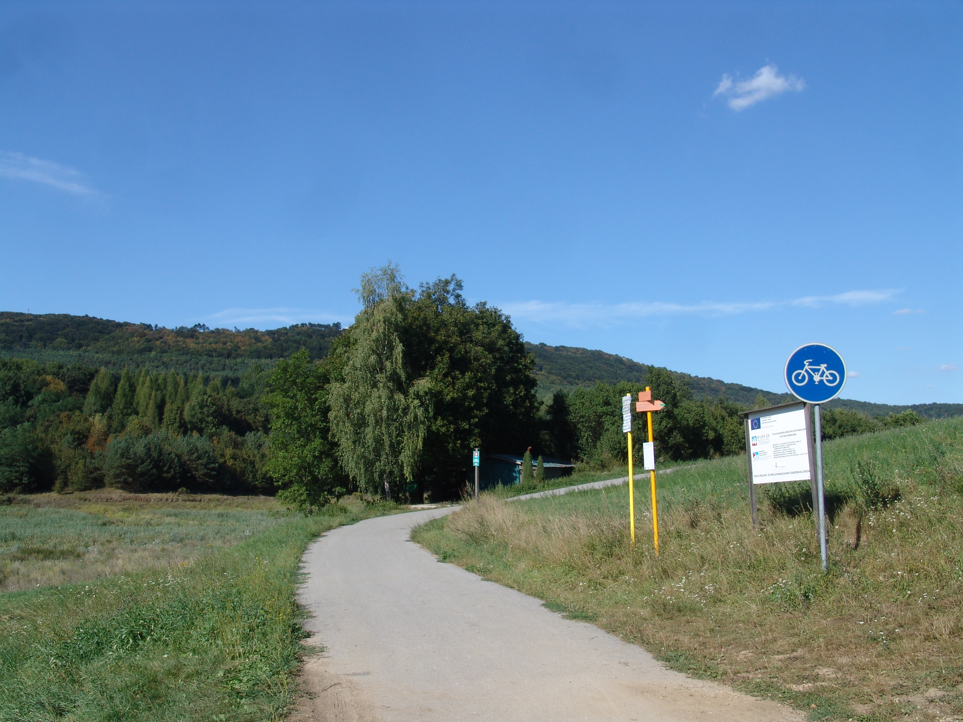
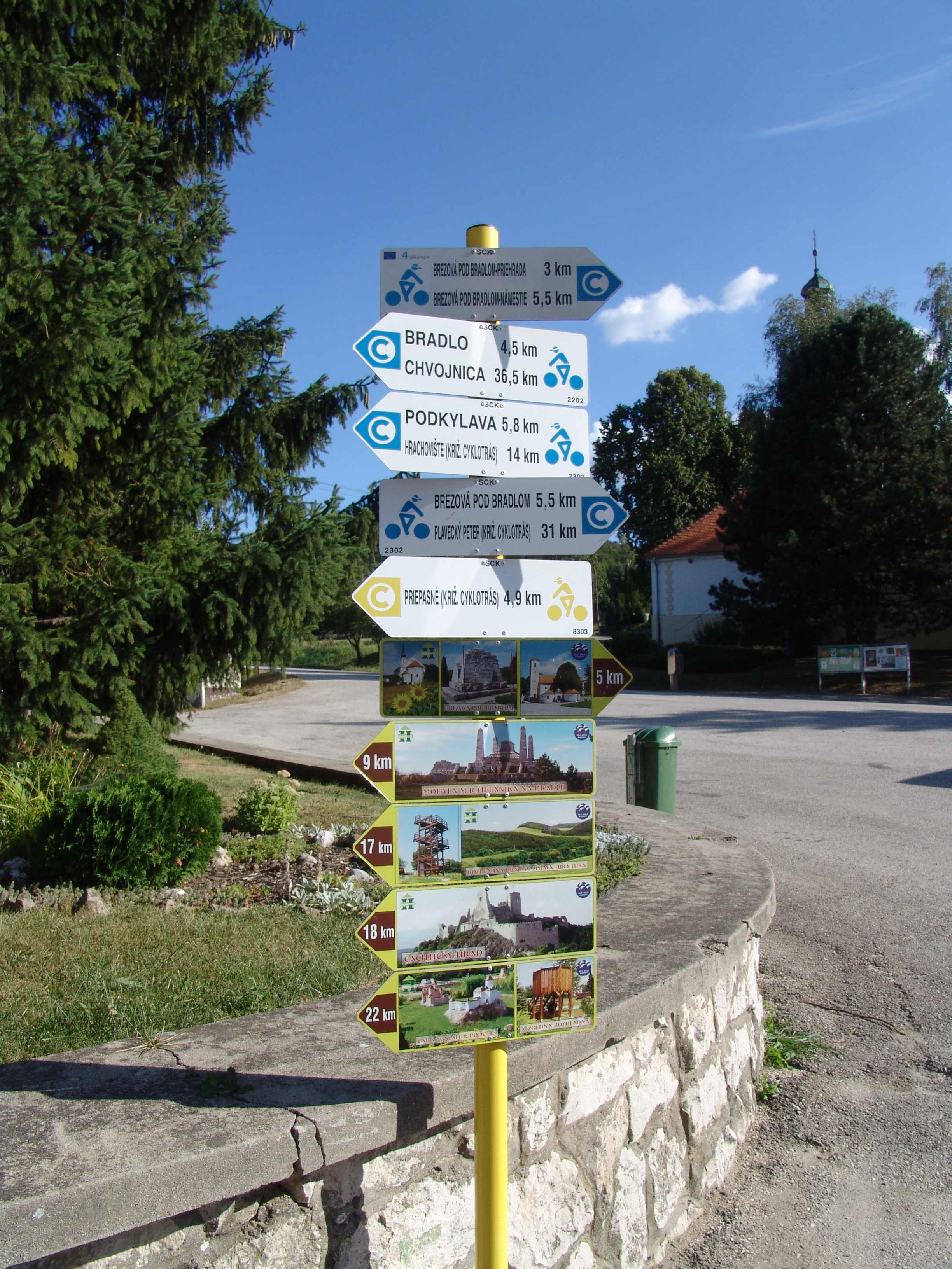
This blue route starts at the small square in Brezova pod Bradlom along with two other routes on the biking trail. From the square it goes south across the city and after a while it meets another blue route no. 2202 and continue together until Kosarísk. From the Brezova trail you pass the newly built cyclo-boat alongside the water reservoir with a nice view of Bradlo. The cycling trail leads us to a square to the Košariská village and on the way we have nice historical houses. Many of them are converted into restaurants and accommodations. From the village the route continues to the east, right behind the village, the route turns blue and this time continues along with yellow in the direction of Priepasné. Here is the first more difficult climb on the route, but on the way we can make a break on the landing, from which are beautiful views to the county below Bradlom. There is also a mighty double cross. At the top of the climb is a cycling tracker who tells us that we are going to jump with a yellow path and blue continues along the field road towards Bradlo. The asphalt road gradually turns into a forest path, and Bradlo brings us a short climb of forests. Bradlo himself stands on top of him. From the mound where MR Štefánik is buried, we enjoy the beautiful circular view. Then the trail goes down the meadows below Bradl and after a while the asphalt road starts again, which leads us to the village of Priepasné, where we meet for a while with the green route no. 5302 and the yellow route again. We cross the village and continue on good side roads to Polianka and then to Belansk village. Previously, the Kopaničiarska cyklomagistrála is joined and continues together. At the top of another climb we can make a break on the landing, from which are beautiful views of the Copan region.
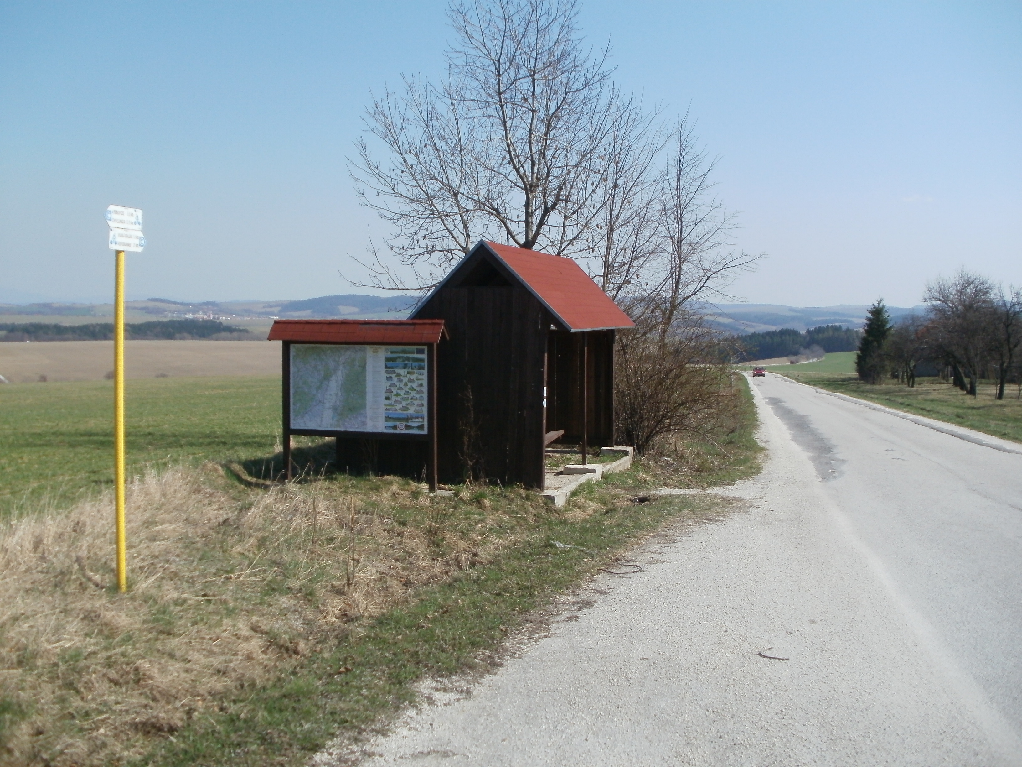
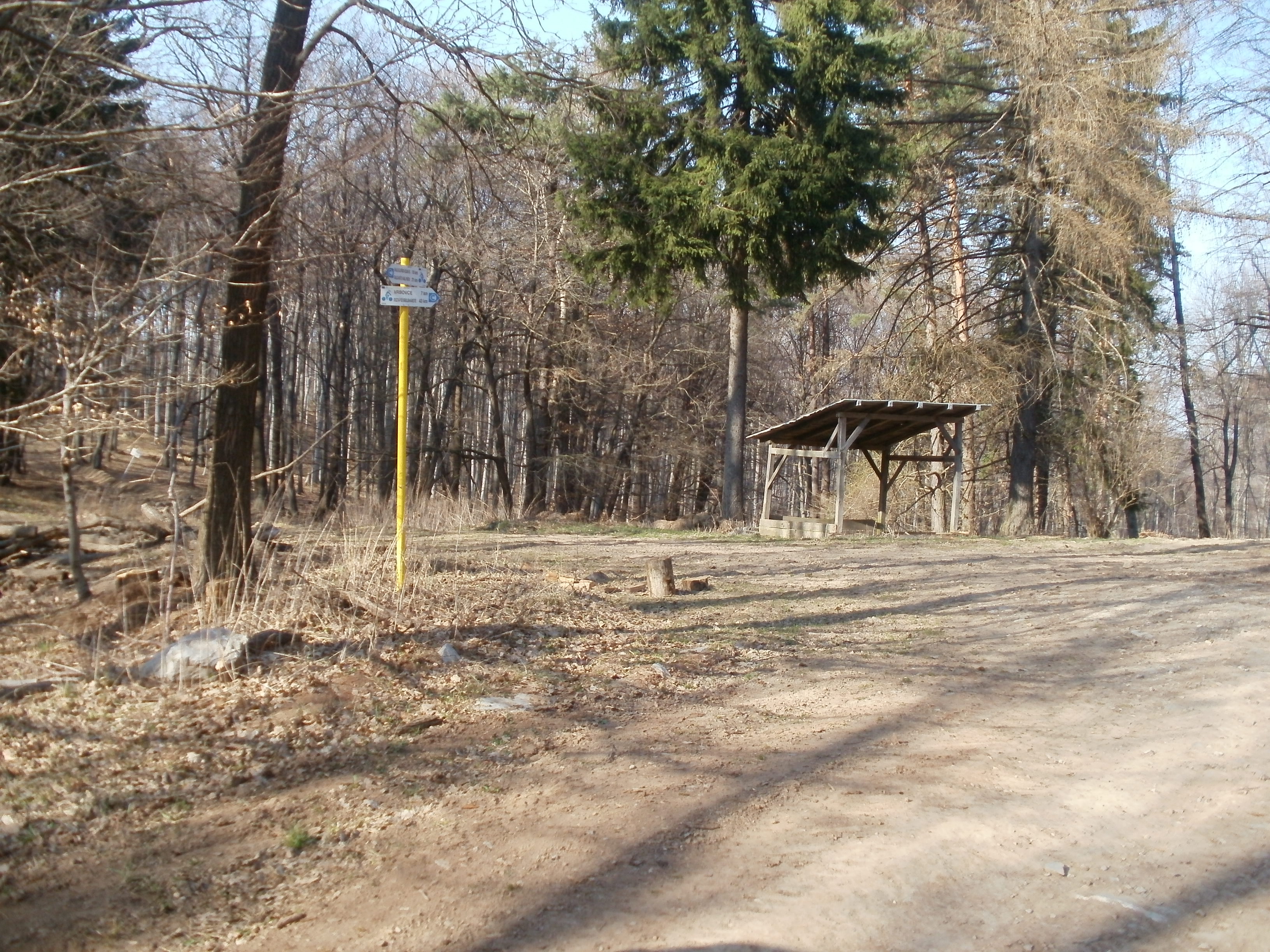
After a break, we run into the Belansk village, where we will swing along the highway and the blue route continues to the town of Myjava - Turá Lúka. Here is the intersection of cycling trails, from where we can make short turns to the gazebo court or the lookout tower. The blue continues in the north direction and a long, but slight climb, goes up to the village of Vrbovce, where there is another intersection of cycling routes. Throughout the stretch we have beautiful views of the surrounding region. Then we can relax in a pleasant outing to the village. Here again we meet the green route, but only for a while, as the blue route continues further upward to the top of the village Chvojnica. After the crossing we pass through the village and leave the asphalt road, which turns into a forest path, after which we slowly climb into the White Carpathian forests. Upon reaching the top, the trail reaches the Trnava region and after a pleasant forest ride we reach the cycling track. From it we can continue on the yellow route to Radošoviec or Blue to Skalice.
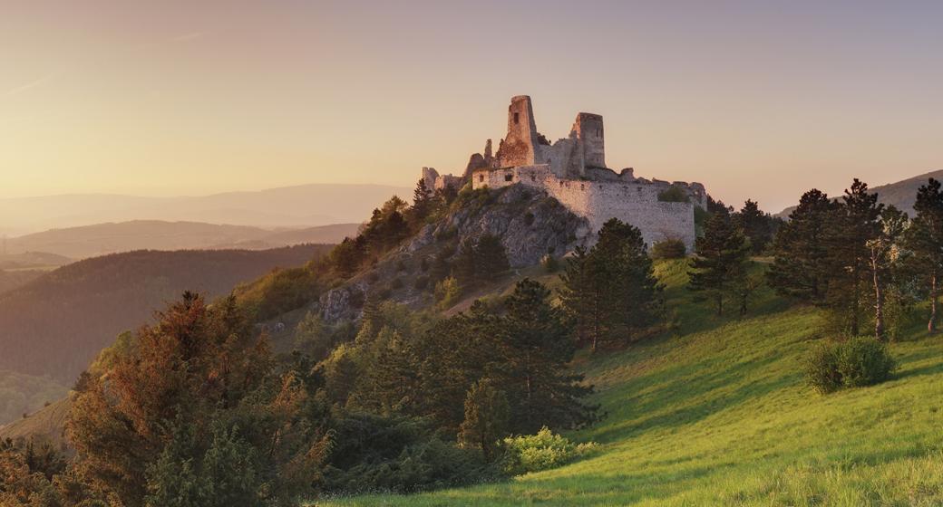
Dominantný a majestátny. Taký je hrad Beckov. Vyrastá zo skaly, je s ňou spätý ako sú s…
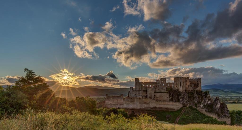
Malebná zrúcanina viditeľná už z diaľky na vápencovo-dolomitickom kopci poskytujúca…
To share on Facebook you need to login first.
 en
en sk
sk de
de pl
pl fr
fr ru
ru hu
hu uk
uk