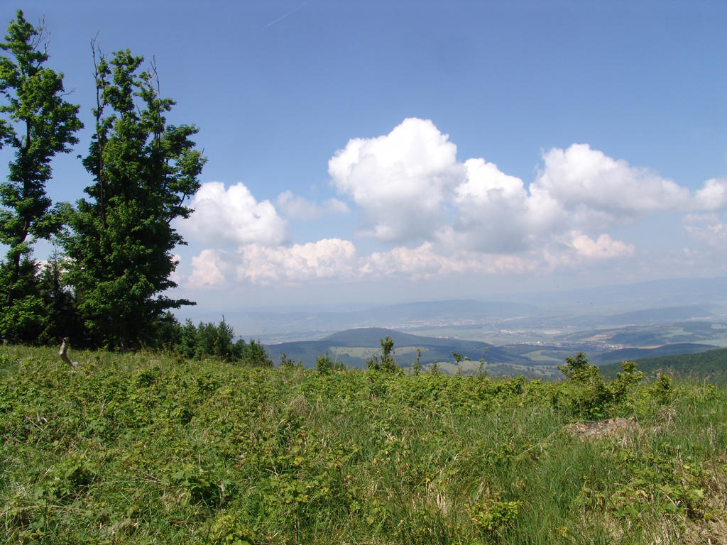
The unique route, suitable for more demanding cyclists, connects two sides of the Považský Inovec mountain range. A climb through meadows and forest paths awaits you, but also a reward in the form of beautiful views.
Specifying
MTB cycling route
Difficulty
EXPERT
Color
Blue
License plate number
2313
Length
40,7 km
Camber (climb/sinking)
1260/1100 m
Surface
asphalt, gravel, natural surface

The unique route, suitable for more demanding cyclists, connects two sides of the Považský Inovec mountain range. A climb through meadows and forest paths awaits you, but also a reward in the form of beautiful views.
 Blue
Blue
 2313
2313
 40,7 km
 1260/1100 m
 MTB cycling route
 EXPERT


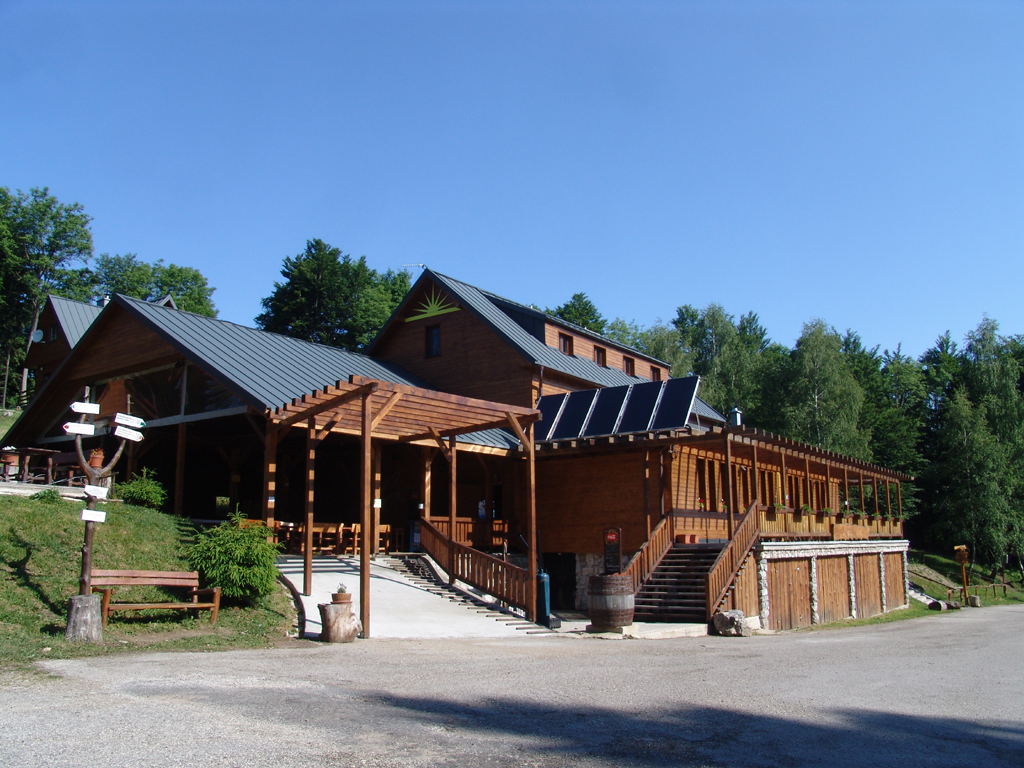
The blue cycling route starts at the bike park in Kálnice, where you can use a wide range of services related to cycling, from service to rental.
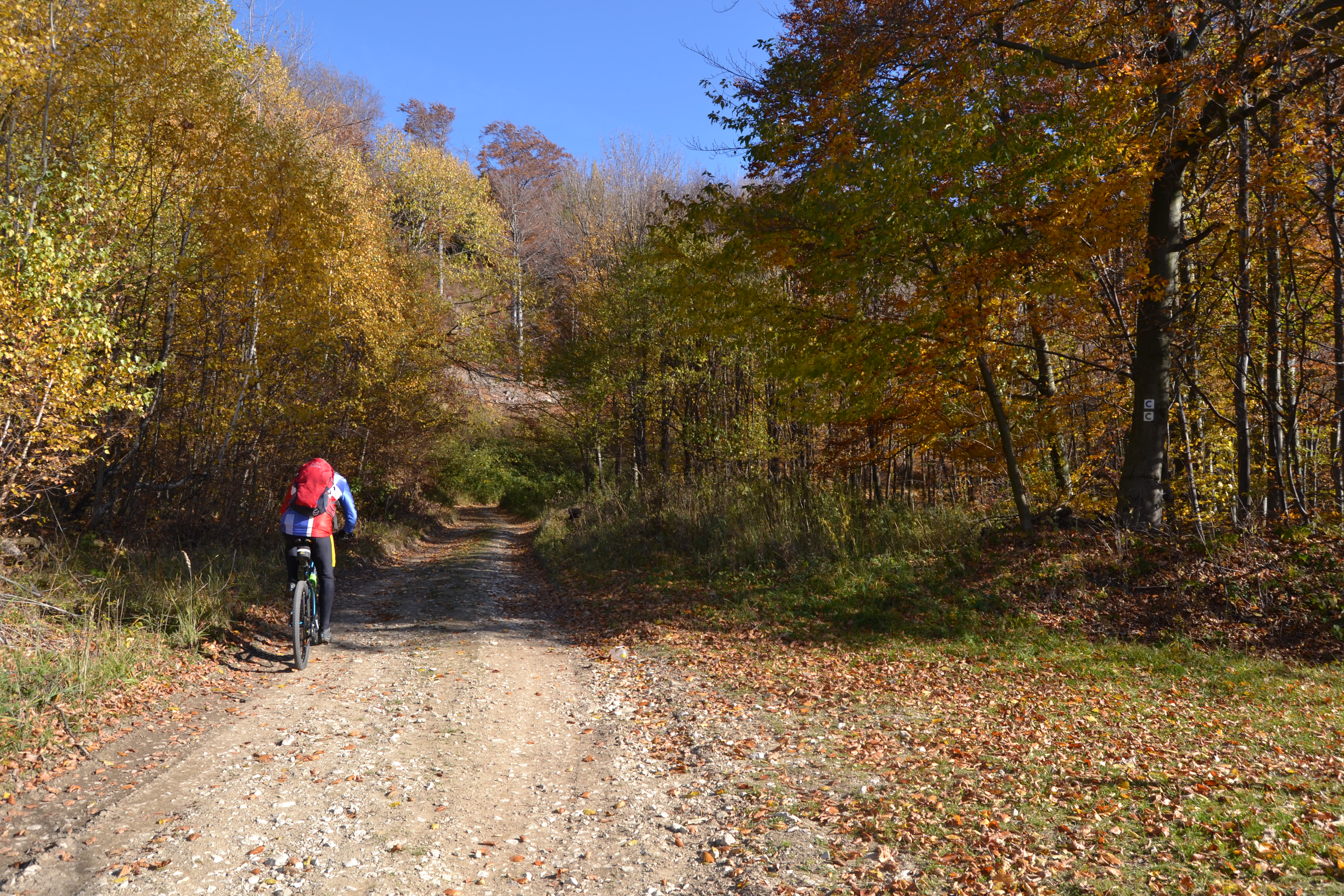
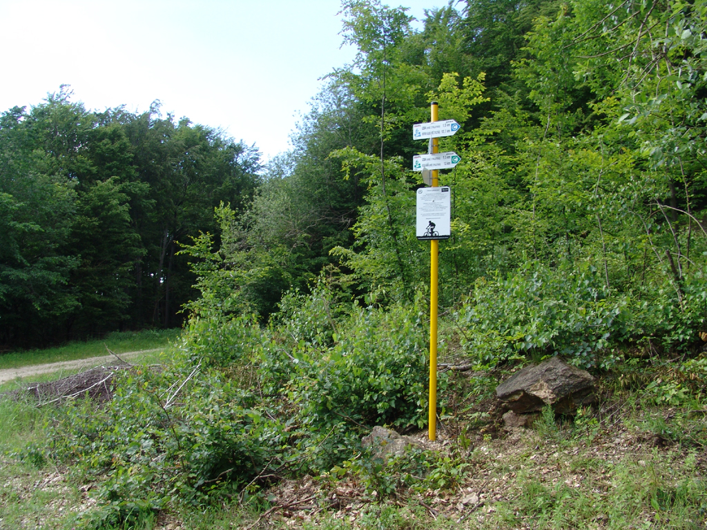
From the bike park in Kálnica, the blue route continues in the opposite direction to the village. In the village, however, it turns left and climbs up the forest road to the Piesky locality. In these places, the route passes through meadows, from which there is a beautiful view of the Považské Inovec mountain range itself. From the meadows, the route enters the forest and continues with a more or less constant ascent along with the blue tourist sign. Gradually, the signs will lead us to the tourist shelter - Izba, where it is possible to refill the water from the spring. From Izba, the route leads along high-quality forest roads to Jakubová, where the route reaches the ridge, with a short but steep climb. Bohuš's well is also located on the rise.
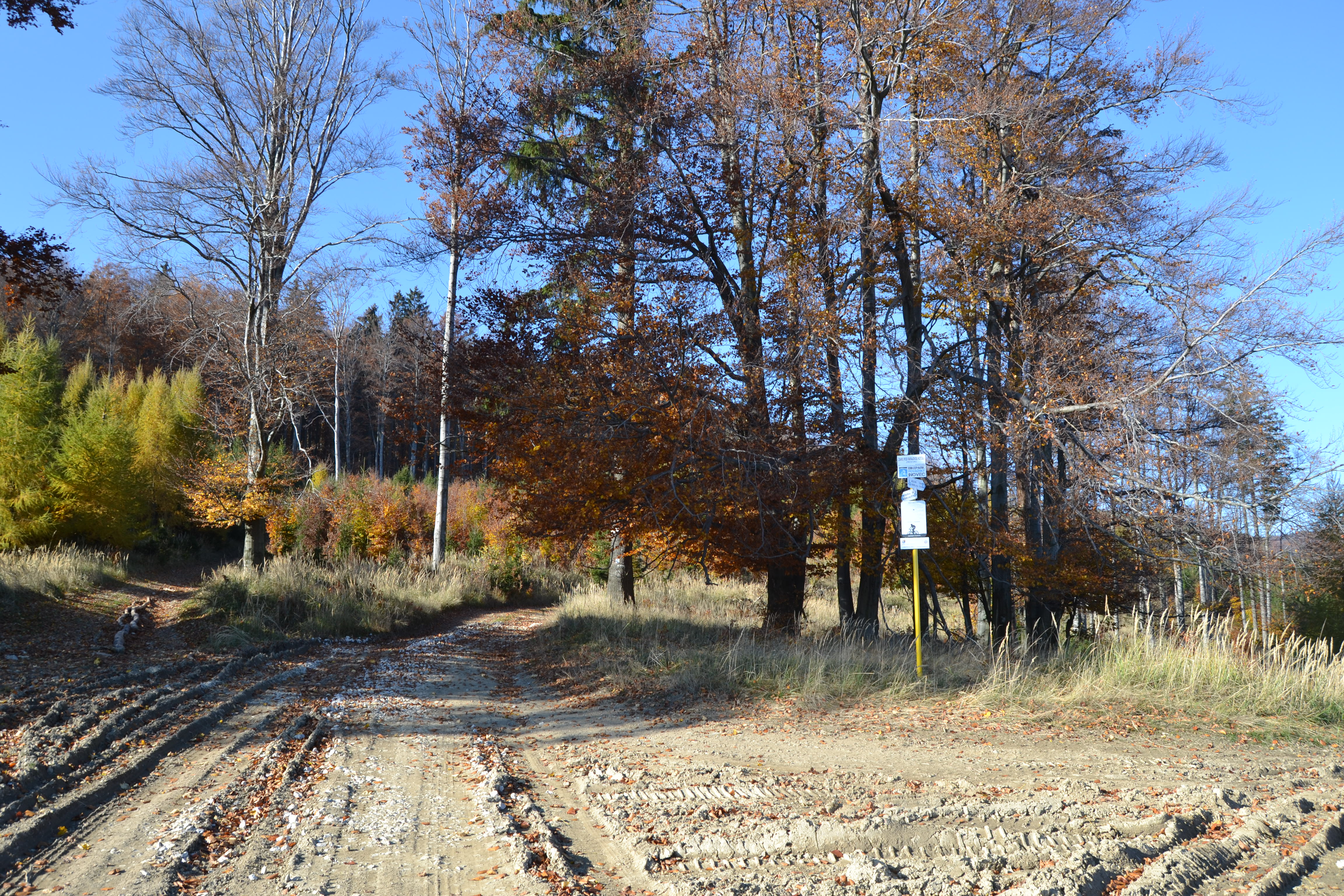
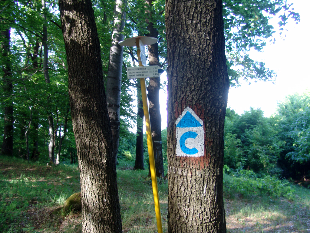
Along the ridge, the route continues together with the red route through a beautiful forest environment almost to the Rafaj hill, but a little below it turns left and descends steeply to the forest road leading below the ridge. We continue along the forest road through undulating terrain up to Selecké kamenné more, where there is another bicycle direction sign at the intersection of forest roads. Cycling signs point you in the right direction, and cyclists continue uphill along forest roads to Chata pod Inovec, where it joins the cycle highway - the ridge of Považské Inovec. They continue together to the location Pod Válovom. Here, the blue route turns sharply to the right and slowly descends along forest roads until above the village of Dubodiel, where it ends at the intersection with the cycle highway Okolo Inovec.
Dominantný a majestátny. Taký je hrad Beckov. Vyrastá zo skaly, je s ňou spätý ako sú s…
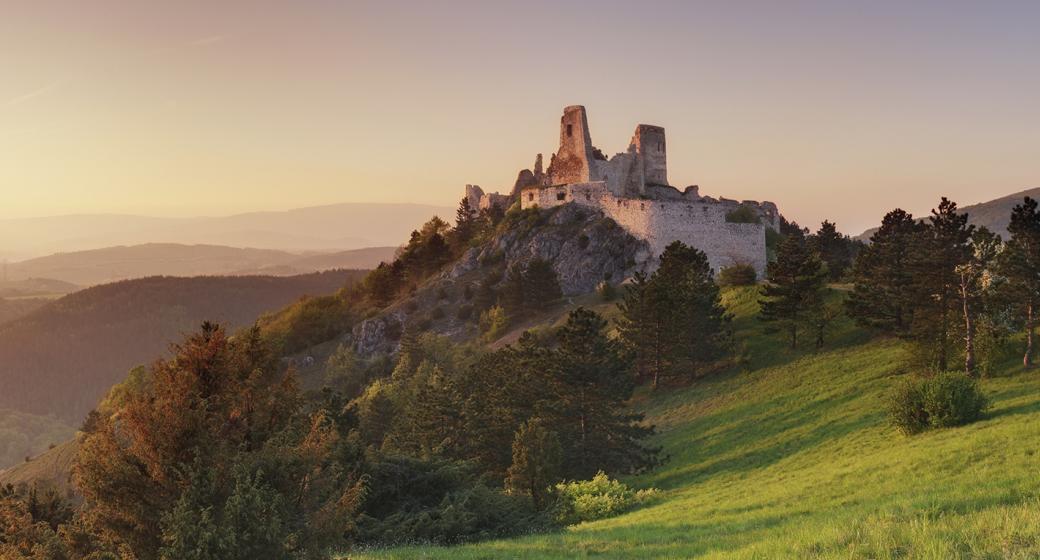
Malebná zrúcanina viditeľná už z diaľky na vápencovo-dolomitickom kopci poskytujúca…
To share on Facebook you need to login first.
 en
en sk
sk de
de pl
pl fr
fr ru
ru hu
hu uk
uk